Skip to content

Category: New Zealand

New Zealand : Westland and Queenstown

So this is the post where I try not to whine too much. However, the truth of the matter, was the days spend traveling down the west coast of the south island and Queenstown were the most challenging of the trip, in so many ways.  There were highlights, and moments of comedy throughout our suffering, which I will try to focus on, so that you don’t stop reading and click through to the next blog on your reader.

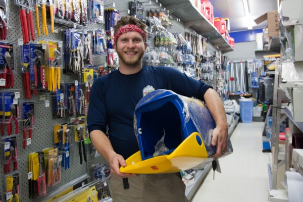
We left Arthur’s Pass and headed back to the west coast headed towards Westland National Park, and the infamous Franz Joseph and Fox Glaciers.  These are also the names of the towns where the glaciers live, it’s all very confusing.  Along the way, we stopped in one of the coastal towns which is known for its greenstone (this is the Kiwi word for jade) jewelry production.  I got a very lovely piece.  Tom also stopped at a hardware store, because he had become slightly obsessed with the two tone New Zealand mailboxes and wanted to see if we could bring one home.

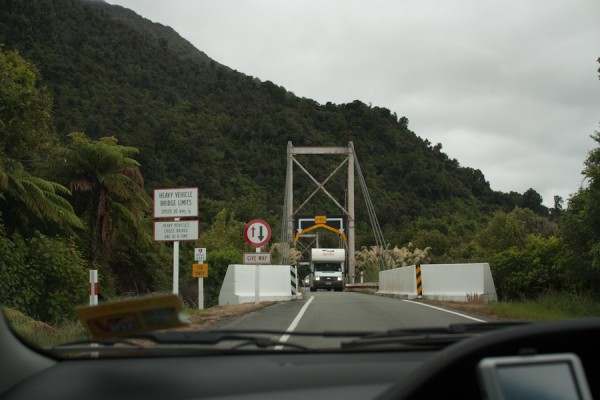
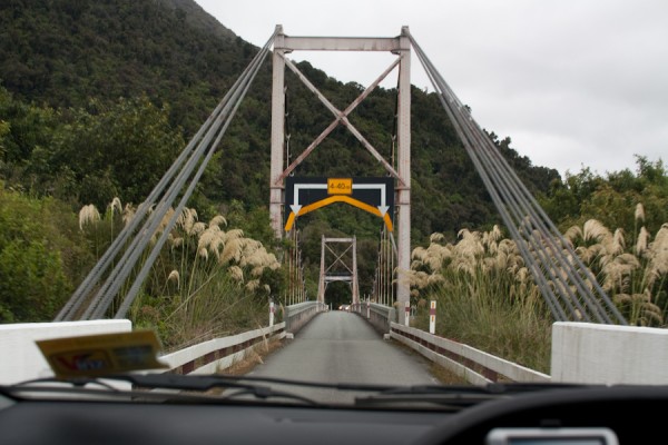
The weather was not great, but it wasn’t horrible either, and we wound our way down the coast in a steady drizzle.  This part of the country is very remote, and has very little population.  As I mentioned before, the Kiwis take advantage of this lack and save money by building bridges with only one lane.  It is a bit unnerving to approach a bridge and know that there is no way out if someone starts barreling down form the opposite direction straight at you.  This risk is somewhat moderated by the right of way signs that pop up about a km before the bridge, telling you whether you have right of way or not.  After that, it’s just a game of chicken, where you hope you read the sign right.  Yikes.

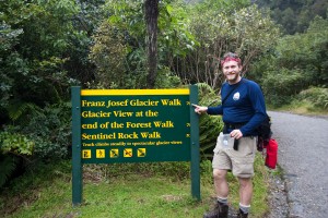
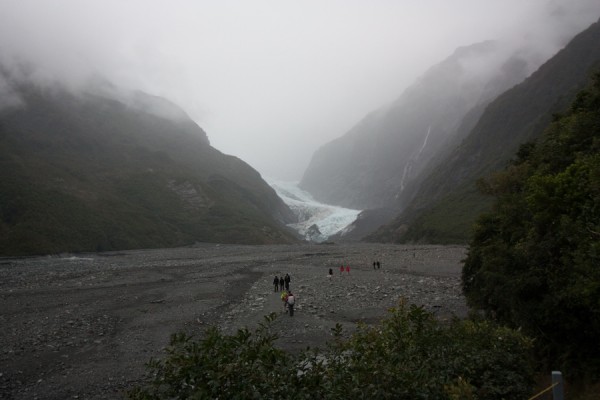
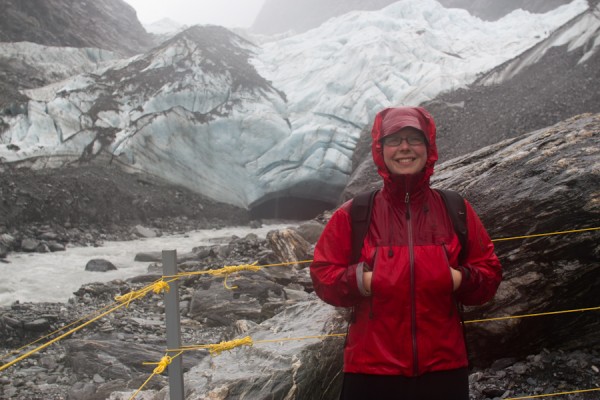
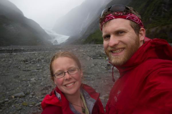
We eventually made it to the town of Franz Joseph Glacier, where we were planning to stay for the night, as it was about 3 hours from Arthur’s Pass.  We stopped by the Department of Conservation (DOC) office, which is essentially a very nice ranger station, to check on the trail conditions for the day, as we had planned several walks near and around both the Franz Joseph and the Fox Glaciers.  We were a bit surprised, however, when the rangers said that there had been record rainfall amounts over the past few days, and even more rain was expected.  All of the trails near Fox Glacier had been closed due to flooding, and they were only recommending a few trails near Franz Joseph due to flood risk.  We figured that we’d come to see glaciers up close and personal, and we would do what we could to make that happen, so we headed off for our “approved” trail.  With our rain gear.

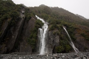
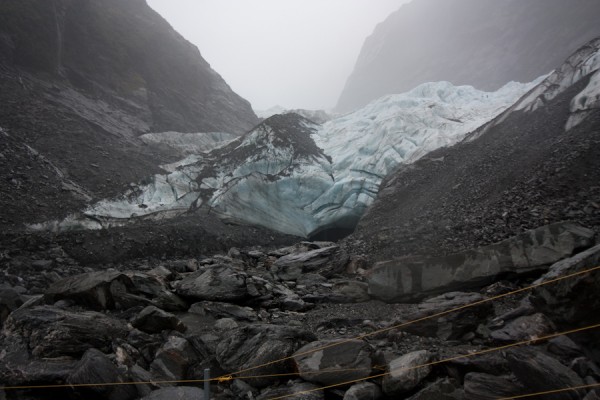
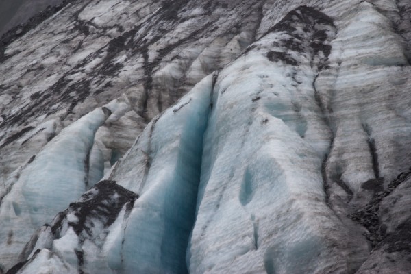
The “hike” to the glacier was pretty much a flat walk along the receding glacier’s moraine, which pretty much looks like a lunar landscape, as the glacier has spent eons grinding the bedrock down to pebbles and sand.  We were able to get very close to the glacier its self, which was very cool.  The glacial ice is a bright, vibrant shade of blue, and there is a constant grinding and popping noise as the slow moving river of ice makes its presence known.

Soon we were soaked to the skin, and headed back to our car.  Since we were unable to do most of the hikes we had planned for the next day and a half, we needed to reassess our route.  We could have stayed in Franz Joseph that night, but there really seemed no point, as the town was tiny and there were no hikes to do.  So it was back into the car, and planned to drive as far as we could towards Queenstown that evening.

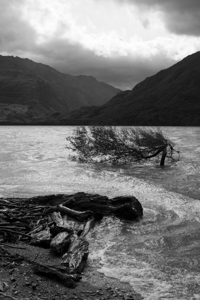
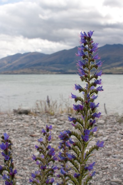
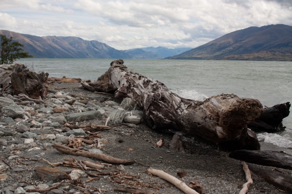
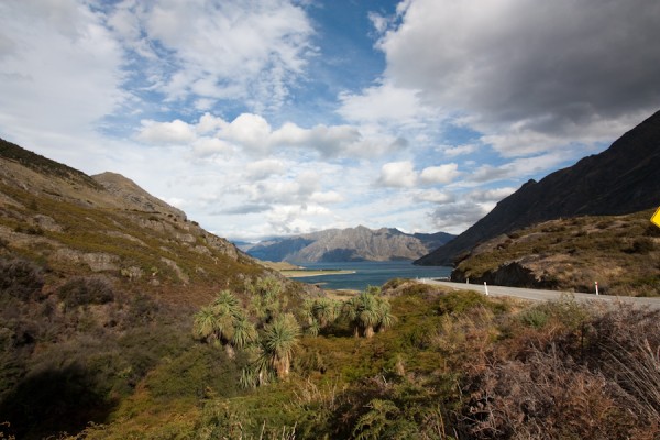
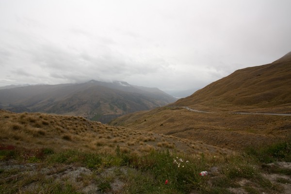
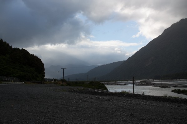
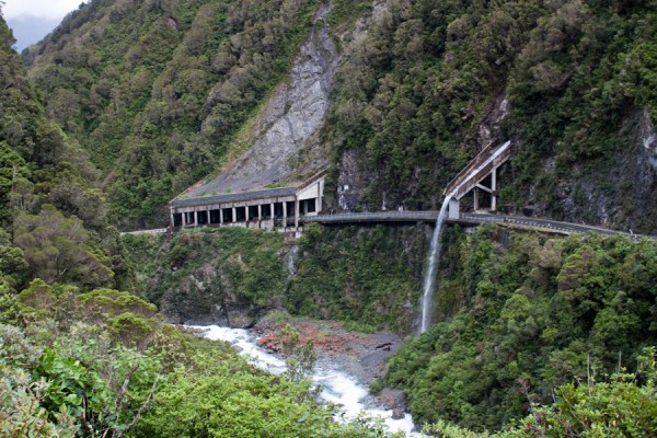
We made it to Wanaka, which is about another 3ish hours south of Franz Joseph.  The road went through some very wild country, with even more one lane bridges.  We were driving through the lower portions of the Southern Alps, and there were few other cars on the road.  We kept stopping to take in the dramatic scenery, which still managed to be breathtaking despite the rain.  One memorable stop was this lake, which was one of the windiest stops we made on the trip, and where a very unfortunate tour group had stopped to set up camp for the night.

\

Eventually we made it Wanaka, where we spent about 45 minutes looking for a cheap hotel ,before Tom gave in, and we decided to treat ourselves to a night at a nice bed and breakfast.  We felt like we had earned it, and man, was this place swanky.  But, really, after several days in the rain, just having a roof over our head and a warm shower seemed like high times.

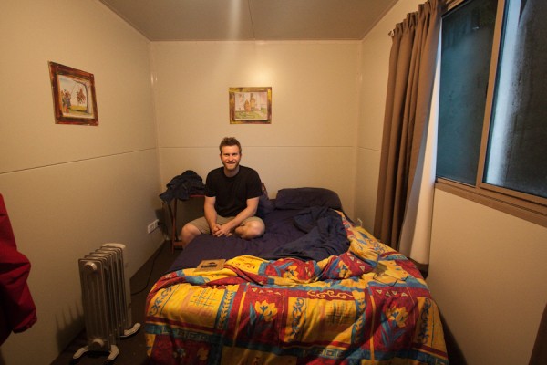
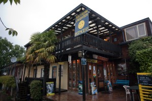
The next morning we drove further south through the passes to Queenstown.  This city is famed for it’s stunning alpine vistas and adrenaline packed adventures such as sky diving, bungee jumping, river surfing and canyoning.  We checked into the Southern Laughter Backpackers, (which is the Kiwi word for hostel), and requested a private double room.  They said they had only one available, and it was “in the back garden”.  Now, I think that when referencing your converted shipping container “room” which is sitting in the back parking lot, it’s a bit of a stretch to talk about it being “in the back garden”, but hey, who am I to judge.  Our room was just that, a converted shipping container in the parking lot, which happened to be rapidly filling with an alarmingly large puddle due to the aforementioned rain.  We decided to go for it though, because how many opportunities do one have to sleep in a converted shipping container?

We spent the afternoon and evening bumming around Queenstown in the rain, getting soggy, sampling some of the local brews and having a tasty dinner at a well reviewed Indian restaurant.  As a side note, do not go to New Zealand for the food.  In our experience they cook only two things well:  fish and chips and Indian food.  It’s pretty much all we lived on during our time there.  Now you know.  We had originally planned on doing a backpacking trip that night, but due to the epic amounts of rain falling from the sky, most of the trails were either under water or closed due to high flood risk.  In fact, a few folks that we talked to that were staying at our backpackers had actually just been evacuated off the famed Milford Track the day before due to the fact that the entire time they had been hiking on the trail, the water had been up to their waists or chests, and they had to be helicoptered away from their hut to avoid the rising waters.

At this point, we were sick of our plans being changed, we were sick of the rain, and just wanted to do something fun.  So we wandered into one of the outfitters that offered canyoning tours.  In America, we call this canyoneering, where you jump, swim, slip and slide your way down a river, and try to have fun and not drown yourself in the process.  We shelled out a rather large sum to book our fun for the following day, then splashed our way back to our container for the night.  The following morning, we woke up and were glad to see that the large puddle in the back “garden” had not yet overtaken our front porch, and eagerly got ourselves ready to go canyoning.  However, when we arrived at the outfitter, we were told that, of course, there had been so much rain overnight that the rivers were now at flood stage, and all trips had been canceled for the day.  I probably don’t have to mention that this was pretty much the low point of the trip.  We’ll just move on.

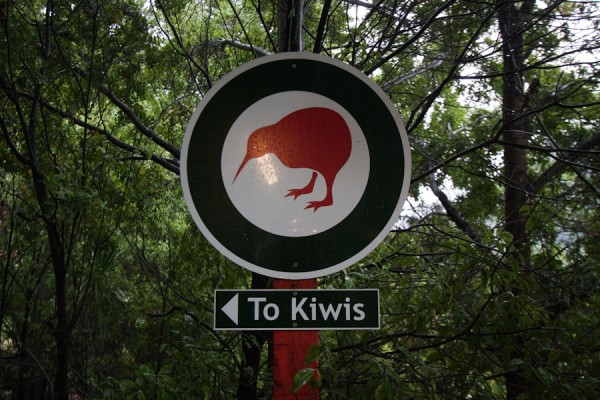
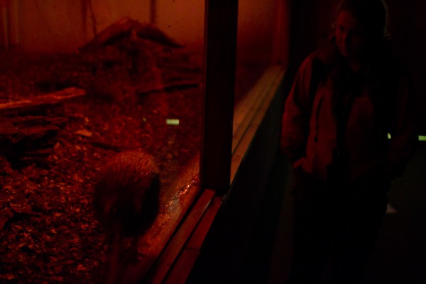
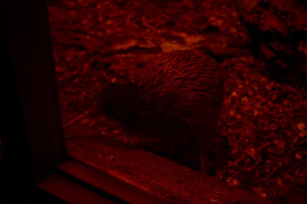
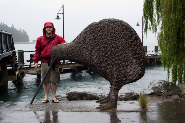
Because my husband is amazing, (and at this point pretty desperate), he yet again salvaged a BACK UP PLAN.  He read in our guidebook that there was a very interesting bird park in Queenstown that was mostly under cover, and he thought it might be worth checking out.  Now, I’m not that into birds, but New Zealand has some of the most unique birds in the world, so bird parks actually have some appeal.  They also had two breeding pairs of kiwis, which while being the national bird are actually quite rare, so we were anxious to see them.  Kiwis are nocturnal, so the kiwi houses are red, but you can make out the akward and somewhat silly shapes of these interesting birds in the photos.  Tom took some video where you can see them better, and hopefully I’ll be able to post some soon!

All in all, the west coast and Queenstown were far from the highlight of the trip, but they were a learning experience for us.  We have defiantly learned not to pin our hopes on one activity in a place, and to always, ALWAYS have a backup plan.  Preferably one that involves flightless birds, they’re always good for a laugh.

Up next, the odd spherical boulders, the blue penguin colony and Mt Cook National Park.

Leave a Comment
New Zealand: Arthur’s Pass National Park

Many abject apologies for the total lack of blogging recently.  We had some server difficulties which made it impossible to access pictures for about a month. Things are back online now, and there should be more frequent updates!

After leaving Abel Tasman National Park on Christmas Eve, we drove south through the interior and finally along the west coast…..and drove, and drove, and drove.  The south island is far less populated that the north island, and this is evidenced by the total lack of traffic, the overabundance of sheep and cattle, and the one lane bridges, (more on these next time).  Our destination was Arthur’s Pass National Park. The weather was volatile, as usual, but we did get some partial clearing and a rainbow or two along the way.

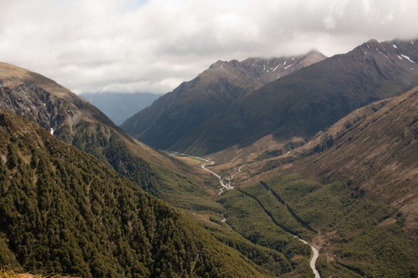
After turning away from the coast, and heading back towards the center of the island, we were aiming straight for the Southern Alps.  This is the mountain range that runs the length of the south island.  It is large, remote, wild, virtually uninhabited and has very few passes over it.  As you may have guessed, Arthur’s Pass is one of them.  Eventually, we started our climb up through the mountains.  It was late in the day, and a mist and fog was laced through the valleys and snaked around the peaks.  We started looking for Gollum to poke his head around the next jagged rock outcropping looking for the One Ring.

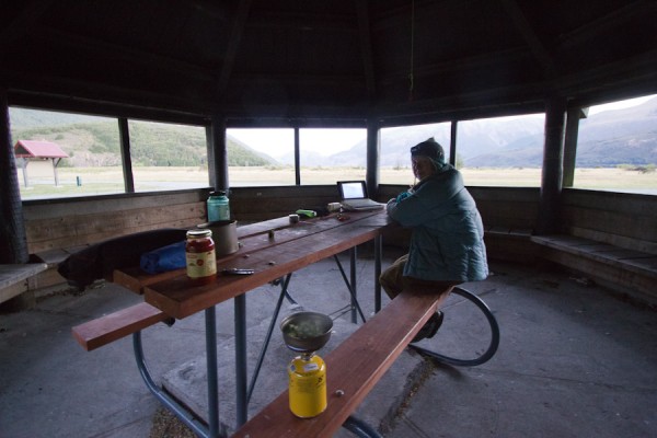
We finally arrived at the tiny village of Arthur’s Pass, and tried to seek out a Christmas Eve service.  As it turns out, the tiny chapel in town only has services on Sunday mornings, and Christmas is no exception.  So no Christmas carols for us.  This was  a pretty big blow for me.  I had never been away from family before on Christmas, and never missed the Christmas Eve church service.  To me, it’s an integral part of Christmas, and I wasn’t going to get it this year.  There were tears and I threw a pretty big pity party for myself.  Luckily, I have an amazing husband, who not only dealt with the pity party, but had a BACKUP PLAN.  The backup plan, aside from heroically offering to drive another hour back to civilization after we had already set up camp and night had fallen, was to bust out dinner and the laptop.  While I moped, Tom chopped vegetables for pasta sauce.  Now remember, we were camping, so making nice food is a bit harder.  We had a very yummy dinner of pasta with fresh veggies, which helped lighten the mood.  To top it all off, Tom had loaded a bunch of Christmas movies onto the laptop that we brought with us, and we watched Rudolph the Red Nosed Reindeer and Charlie Brown’s Christmas. As silly as it sounds, eating yummy food and watching fun movies really did make Christmas Eve special.

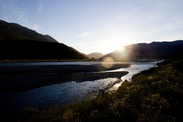
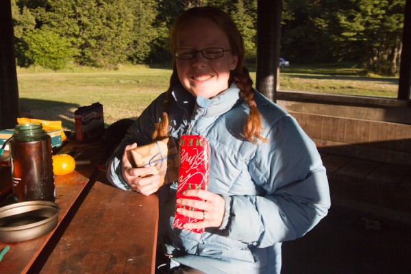
The next morning, we had our own little mini-Christmas with presents that we had painstakingly brought all the way form home to exchange on Christmas morning.  Tom got me a two person travel game that we played throughout the rest of the trip called Mr. Jack Pocket.  I got him a new pair of underwear!  Hey, I knew it would be about half way through the trip when we exchanged gifts, and I wasn’t exactly sure what the laundry situation would be.  It was nice to have a bit of Christmas, even if it was sunny and very far from home.  (The photos of Christmas Eve and Day aren’t fantastic…but they do tell the story!)

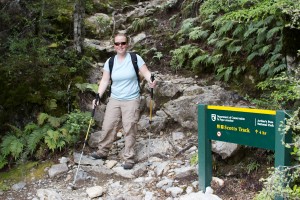
After our oh so delicious breakfast of Cadbury “breakfast bars”, we headed out to the ranger station. For long, strenuous hikes, the rangers like for you to register your intentions, so that if you don’t come back, they know where to go looking for you.  The ranger station was open for only 20 minutes due to the fact that it was Christmas Day, so we needed to be prompt.  When researching the hikes for our trip, the one consistently mentioned in the Arthur’s Pass areas was the Avalanche Peak Trail linked with the Scott’s Track to make a loop.  Now, the Avalanche Peak Trail was considered “very challenging” and the Scott’s Track, “moderately challenging”.  Since it was December and we were feeling a bit out of shape, we decided to go out and back on the Scott’s Track.  This was our first experience with the fact that Kiwis TOTALLY understate the difficulty of their trails.

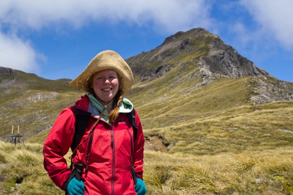
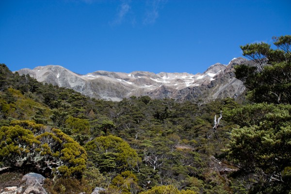
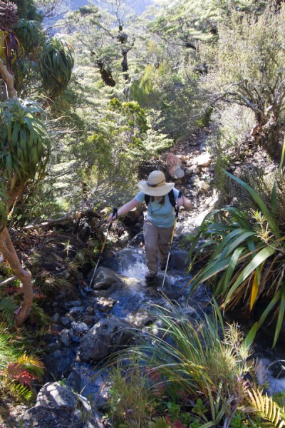
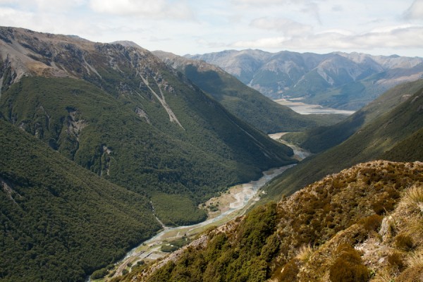
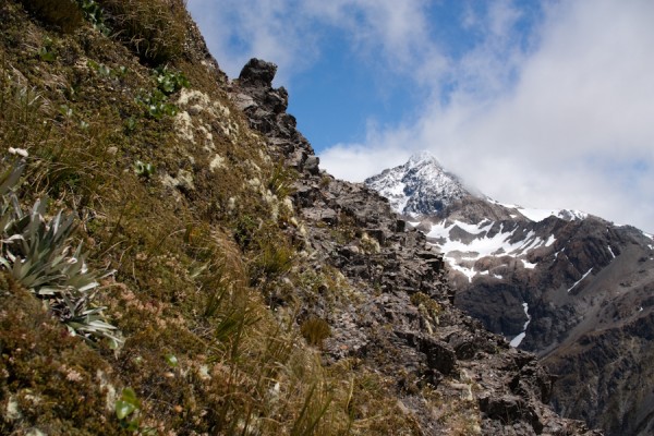
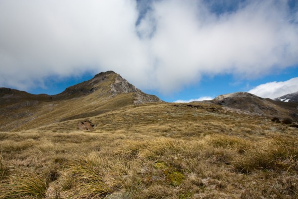
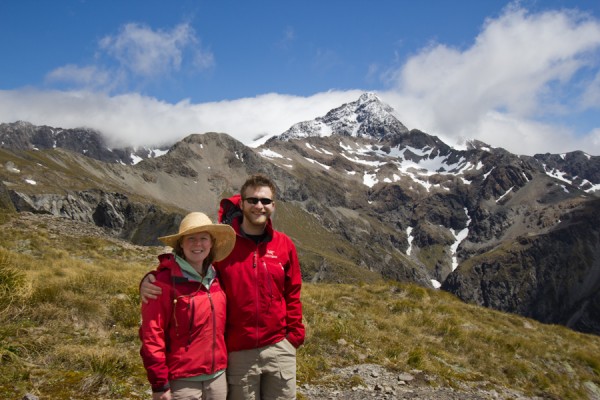
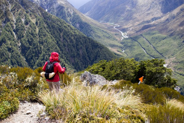
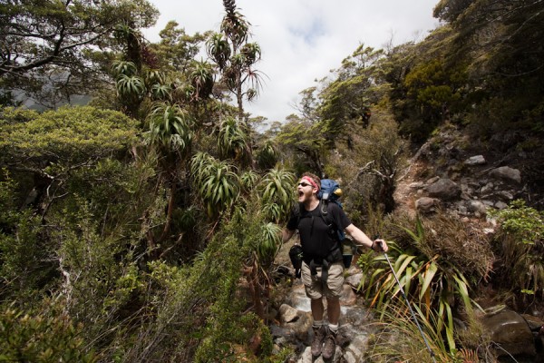
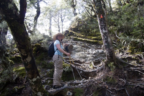
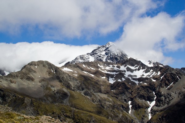
We knew we were in trouble when the “trail” seemed to be more or less a stream bed, complete with rocks, roots and boulders.  In fact, the word “trail” is a bit of an overstatement of the situation actually.  However, it started in lush beautiful forest full of weird looking plants and more fern trees, so at least we had nice scenery to look at as we hoofed it up and up and up.  Eventually we broke the tree line and were rewarded with jaw dropping views of the valley below and the mountains above.  The higher we climbed, the better the views.  We were right in the middle of the island, and had quite dramatic vistas where the mountains dropped off to the east and west, and where they climbed further to the sky towards the south.  Magnificent.
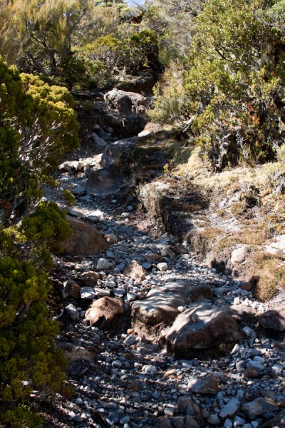

The higher we got, however, the more exposed the trail was, and the wind was really whipping.  There was some rain forecast to come into the pass in the afternoon, and we could literally watch the storm starting to come in from the west coast.  Eventually it got a bit too windy for this red head, and I called for a lunch stop to reassess our situation.  After dining on sandwiches and chicken flavoured chips, (yes, that’s a real thing, and yes, they are delicious), we decided that the summit was just not in the cards for the day.  It was still over a mile away with probably another 1,000 ft of elevation gain, and we could see the rain coming.  I think Tom would have been up for it if I was willing, but he wasn’t too fussed about turning around.  The views had been amazing, and we were ready to call it a day.

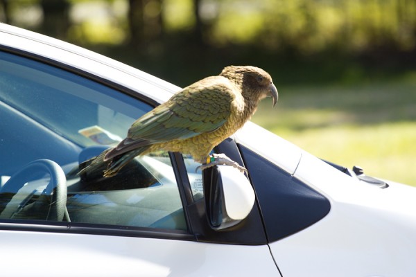
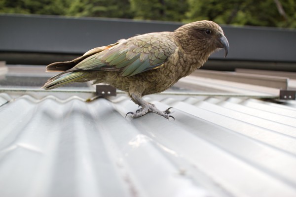
After our decent, the rain began, and we took refuge in the town of Arthur’s Pass on the front porch of a convenience store, which conveniently, (hehe), had wifi that we could use to call our parents via Google Voice.  Crazy technology these days!  While we rested our aching feet, we were visited by several curious kea.  These are the indigenous alpine parrot that lives in the Southern Alps of New Zealand.  They are incredibly intelligent, very curious and often quite mischievous.  They have been known to rip open tents, carry off hiking boots and unzip backpacks to get at hiker’s hidden treats.  They’re fun and quite beautiful.  It was fun to watch them fly and climb around.

We spent one last evening in Arthur’s Pass before heading back to the west coast.   Up next, Franz Joseph Glacier, Queenstown, the elusive kiwi bird and even more rain!  Stay tuned!
4 Comments

New Zealand: Abel Tasman National Park


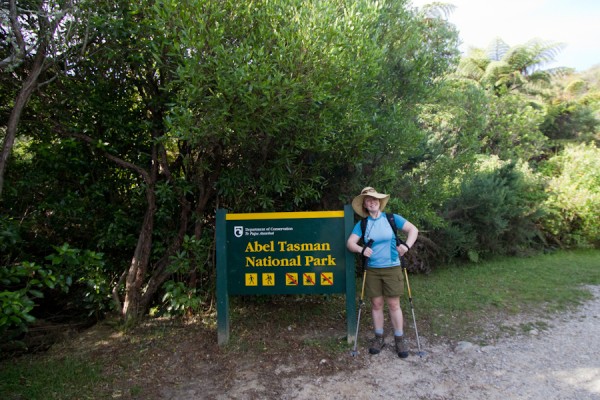
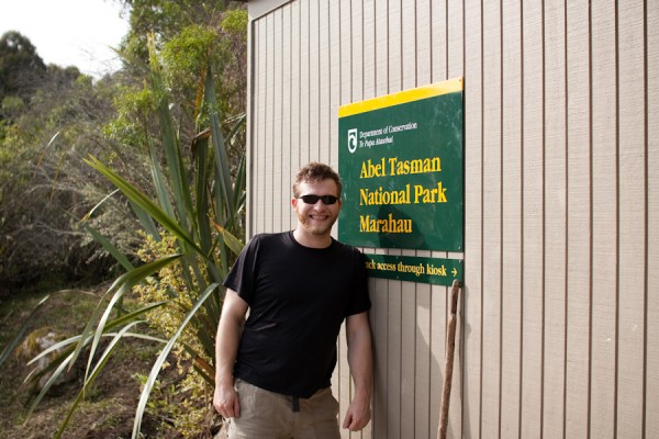
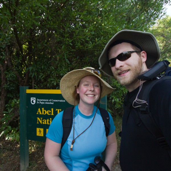
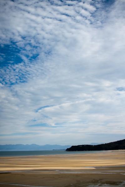
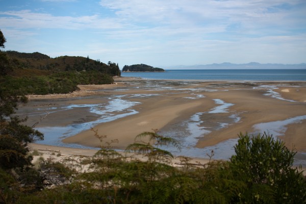
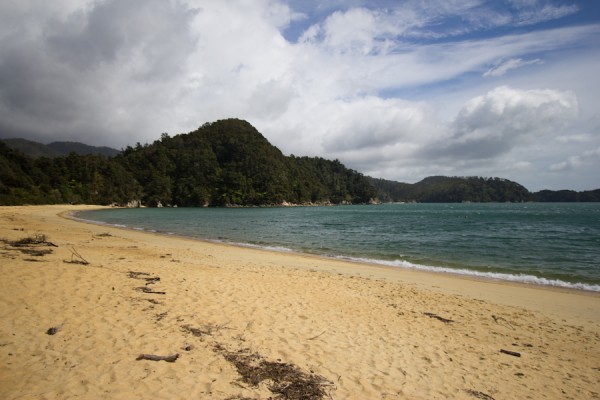
We arrived in the South Island! We were in search of sun, and we found it!  There was much rejoicing!  After our change of plans to come to the South Island a day early, we also decided to go visit one of the national parks we had written off due to lack of time, Abel Tasman National Park.  It was also pretty much the sunniest place in the whole country that day as well, so we lucked out.  We left Picton in the morning, took a reasonably quick detour through Nelson and headed up the coast to Abel Tasman.  This national park is predominantly coastal, and the highlight of the park is the Coast Track, which is considered one of New Zealand’s “great walks”.  These “great walks” are several multi-day backpacks through some of the country’s most scenic natural areas.  We were able to complete the first day of the walk, camp on the beach overnight, and take a water taxi back to our starting point the next day. 
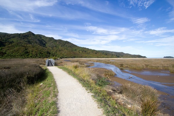
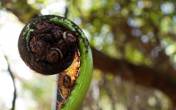
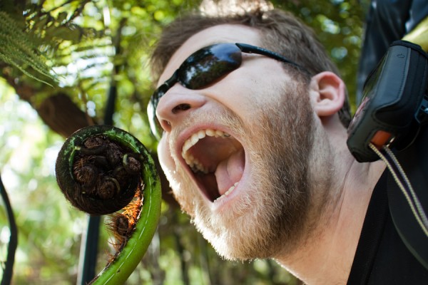
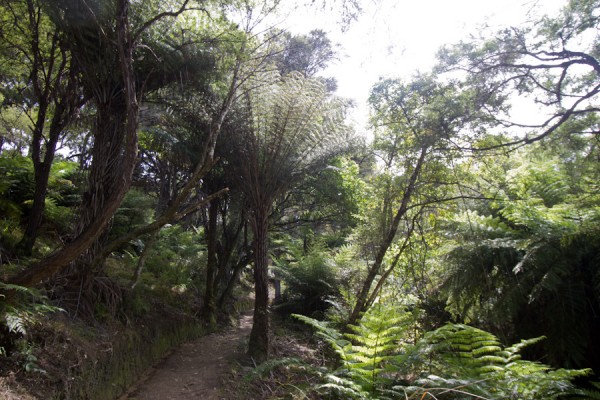
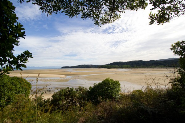
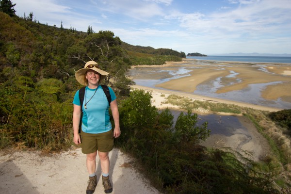
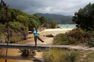
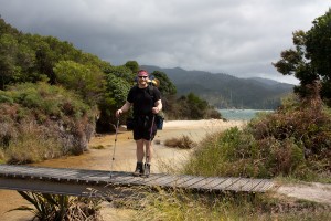
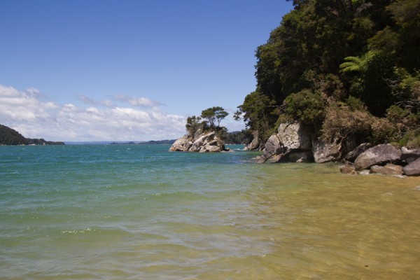
We started the hike in the afternoon, with the sun finally shining down on our very grateful heads.  My back was acting up in a major way, so Tom, being the gentleman/pack animal that he is, took most of the load for our overnight, leaving me only burdened with my camera bag and gigantic sun hat.  Honestly, the thing has it’s own zipcode.  The trail starts out crossing a tidal flat, then starts to gradually climb up onto the headlands overlooking the Marlborough Sounds.  The trail undulates up and down over the headlands, and turns inland and back towards the sea with the contours created by the many streams that cross the track.  Since the trail is so well traveled, it is in incredible shape, with very stout bridges and well maintained drainage systems for the *ahem* occasional rain shower.  We also saw some of the flora that is unique to New Zealand, such as the fern tree.  This plant is exactly what it claims to be.  It is a fern that grew up to be a tree.  They have enormous fronds and a woody trunk, but at the top, they’re all fern.  Weird.   

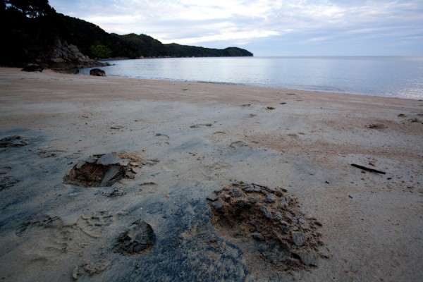
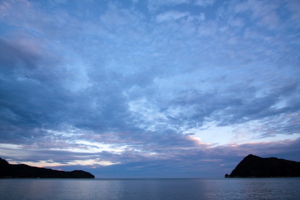
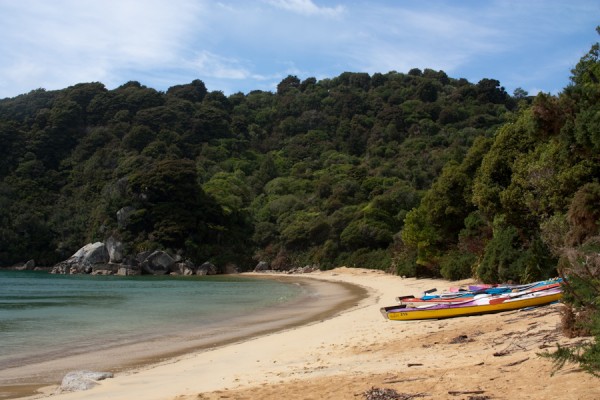
Since trail descriptions in New Zealand rarely include elevation gain, we were unsure how long it would take us to hike the 12km to the first hut along the walk.  We decided instead to camp at Akerston Bay, a small campsite about 8km along the trail.  In hindsight, there was no real elevation to speak of, and we completed our hike for the day quickly, but it simply gave us more time to enjoy our beautiful beachfront campsite.  The site has space for 3 tents, but luckily there were only one other French couple and ourselves there for the night.  Yay private beach!  Tom swam in the ocean, because when given a body of water, he will swim in it, no matter how cold, or lacking in fresh water to bathe the situation may be.  I puttered around oohing and ahhhing over our breathtaking surroundings. 


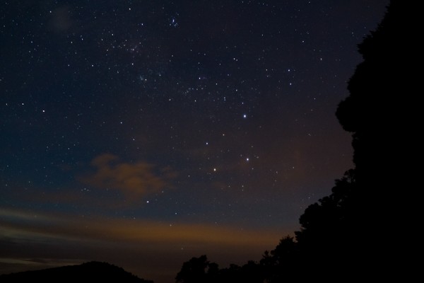
Eventually we retreated back up into the wooded area beside the beach to make dinner at the picnic table and let the other couple have some “beach time”.  They came wandering up a few minutes later though to ask if we were able to help them with their stove.  They had unknowingly purchased the wrong type of fuel canister for their type of stove, so we let them use ours to make their dinner once we were done.  After dinner, it had become completely dark, and we decided to go down to the beach and look at the stars.  Since we were so far from any major towns or cities, there was very little light pollution, and the stars where quite brilliant.  It was our first really clear night since arriving in New Zealand, so it was amazing to see how different the constellations were in the Southern Hemisphere.  We did see the Southern Cross, and sang the song as well. 

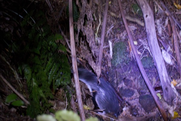
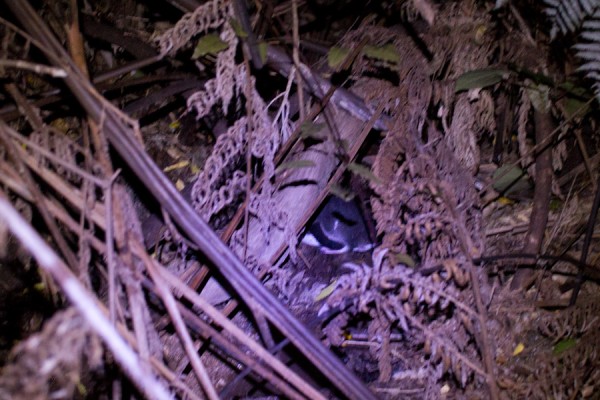
 The highlight of the evening walk, however, was while we were sitting in the darkness with headlamps off, looking at the stars, we heard a wet flapping sound coming from the ocean.  It continued and got closer.  I turned my headlamp on, just in time to see a little blue penguin scuttle up the little stream that runs from the woods to the ocean, and right into the woods themselves!  We visited a blue penguin colony later on the trip, and learned that this little guy probably had his nest in the rocks right inside the woods, and that he was returning to his nest for the night.  I really like penguins, and have never seen one in the wild, so it was a truly unique experience.  Tom tried to get a few photos, but the little penguin was a bit skittish, so they look more like Bigfoot photos than anything else.  Hopefully we didn’t traumatize the poor thing. 

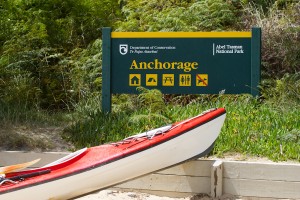
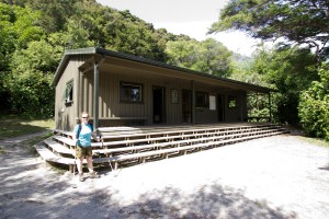
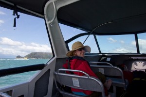
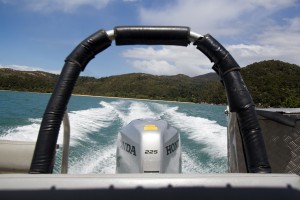
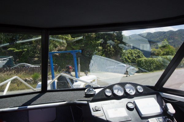
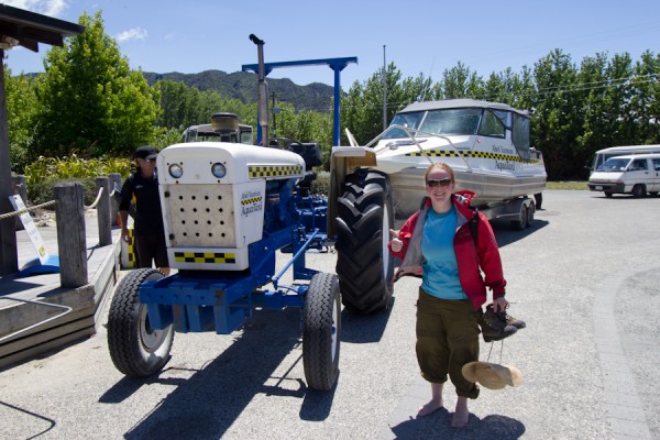
The next morning, we hiked the last 2km to Anchorage, where the first hut of the walk is located.  We had arranged for our water taxi to pick us up at 1:30, but we arrived much earlier than anticipated.  We did a short hike from the hut up to an overlook and down to another small beach and back, but the weather was changing, and we were ready to get off the beach.  We hid up at the hut while showers rolled in and out, and Tom would rush down the beach every time a water taxi would come, to see if we could catch a ride back early.  Eventually, we were able to hitch a ride back with one of the earlier taxis.  The water was choppy, so I was focused on trying not to be sick, while Tom popped around taking photos.  We had to make a few stops on the way back, and he was eventually told to sit down by the driver.  There was a moment of hilarity when we arrived back at the boat ramp and the driver drove the boat up the ramp onto the boat trailer attached to a tractor.  The same driver then proceeded to hop out and drive the tractor pulling the boat down the street with us still in it.  Now, I’ve been in some strange transportation situations, but never have I ridden in a boat being pulled down the street by a tractor.  This was a new one for me.


We finally made it back to the water taxi outfitter and Tom fetched our rental car from the parking lot over by the trail head.  We weren’t too sunburnt, but the vitamin D certainly did us good.  We were now ready for the long drive down to Arthur’s Pass National Park for Christmas Eve!

6 Comments

New Zealand Days 4 and 5: Tongariro, Wellington, Te Papa and Weta Cave

The morning after the glowworm cave adventures, after eating another fabulous breakfast made by our wonderful hosts at Somersal Bed and Breakfast, we headed south to Tongariro National Park. We had been planning on hiking the “Alpine Crossing”, which has been dubbed the “best day hike in New Zealand”.  We were super excited.  However, the weather had other plans.  It poured down rain on the drive there, and when we arrived, the rangers stated that they were not advising hikers to go up into the pass due to 120 km per hour winds, very limited visibility and driving rain.  Frustrated, we asked about some short day hikes, then went over to an Internet cafe to assess our options.  We had planned on staying two nights in the park, then to head down to Wellington for a day and take the ferry to the South Island.  Since we were no longer going to stay in the park, we decided to head to Wellington a day early, spend the night and following day there, then take the ferry.  While this doesn’t seem that complicated, it did involve changing our ferry reservation, rental car drop-off and pick-up, and two hotel reservations. 
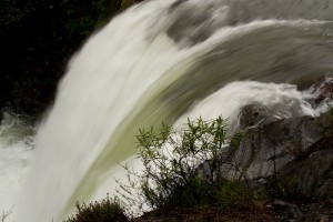
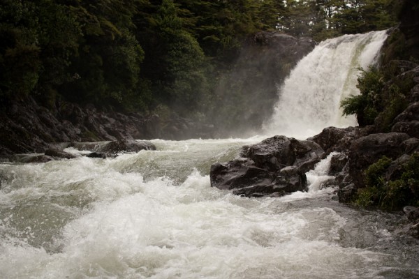
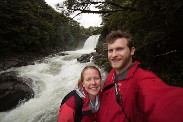
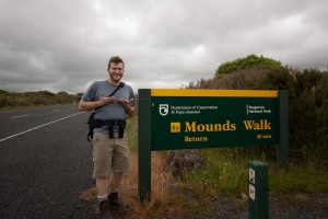
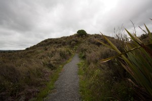
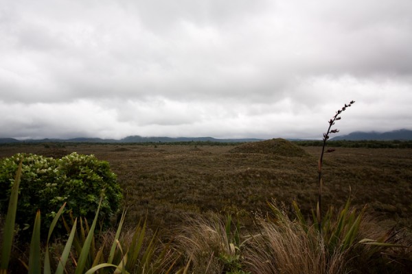
We did manage to do two short day hikes before we left the park.  First, we hiked down to this surging waterfall, which was only made more powerful by the influx of rain.  Afterwords, we did the “Mounds Walk”, where these mounds come out of the volcanic plane due to some sort of long ago volcanic activity.  While these hikes were interesting, the could not really make up for the fact that we didn’t get to do what we set out to do in this park, so we ate our sandwiches and got back in the car. 


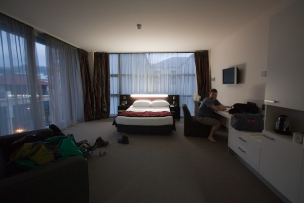
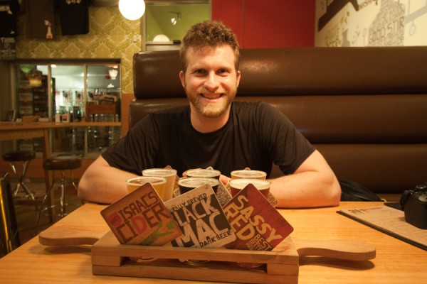
We arrived in Wellington several hours later with enough time to check into our hotel and head to the closest brewpub.  We were exhausted, and a little frustrated, but there was a cool lunar eclipse, which did help, as did the killer view from our hotel room!

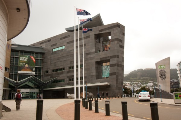
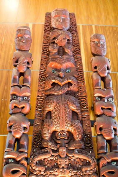
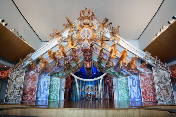
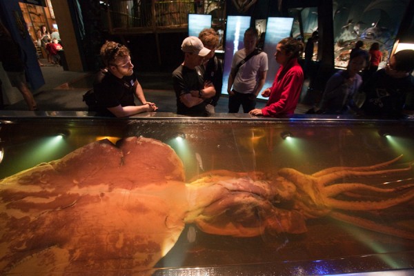
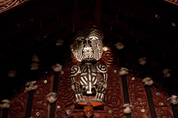
The next morning, we visited the Te Papa Museum, which is the national museum of New Zealand.  There is a very extensive collection of Maori (the native NZ people) artifacts and architectural pieces.  The Maori did a lot of work with the jade that is found in the rivers on the west side of the South Island, creating weapons, tools and ornamental jewelry.  There is a wonderful collection of these types of pieces as well.  There were also more modern exhibits on more recent NZ history as well as a very extensive natural history section, complete with a creepy giant squid.  It was a very cool museum, one of the best I’ve been to in quite some time.
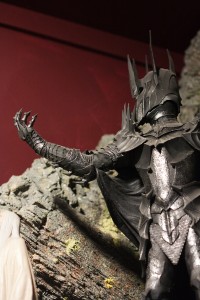
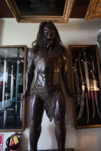


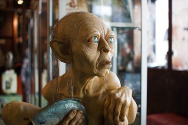
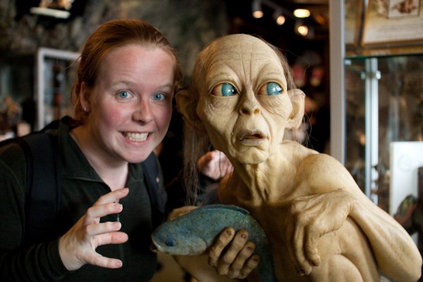
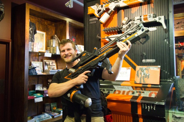
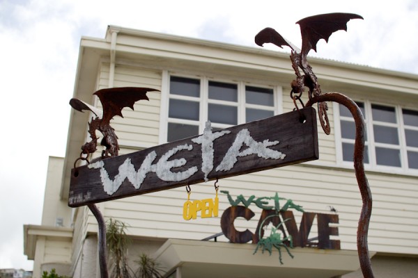
Later that afternoon, we caught a bus over to the Weta Cave, which is in a suburb outside of Wellington.  For those of you non-nerds out there, Weta Workshop is a special effects and props company.  Most famously, they did the effects for the Lord of the Rings movies.  They have also done work on Avatar, District 9 and several other high profile movies.  They can’t offer tours of their workshops due to the fact that they are working on movies that have yet to be released, but they do have a visitor’s center of sorts.  There is an interesting video about the history of the company and some information about the different design areas that they work in as well as different movies they have produced effects and props for.  There are also many different replicas of orcs and swords for Lord of the Rings,  and a mini-museum of different minatures that have been created of different characters from various films.  Tom was excited when he got to hold one of the alien blasting guns from District 9 and pointed it around.  It was a wondefully nerdy experience. 


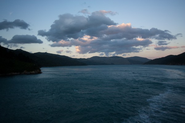
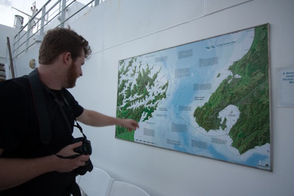
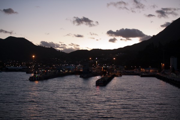
After leaving Weta, we gathered our luggage from our hotel and headed to the ferry terminal.  The Interislander Ferry looks like a small cruise ship.  It is far larger than any of the Washington State Ferries, and quite nice.  There were several passenger levels, a cafeteria and cafe as well as a movie theatre.  The ferry ride is three hours long, and moves through the Cook Straight , which is very choppy.  Let’s just say I am capable of being sea sick on a completely calm day on the Puget Sound, so I didn’t handle the rough Cook Straight all that well.  Luckily I had purchased seasickness medicine, which helped a lot.  Eventually we cruised our way into the Marlborough Sound and the waters calmed a good deal, enough so that I was able to go out on deck and take some pictures of the beautiful islands and pennisulas of the South Island in the setting sun.  We finally ended up in Picton that night, and were ready to begin our adventures in Abel Tasman National Park the next day.

Up Next:  Backpacking on the Abel Tasman coast.

3 Comments